Geospatial Imagery from USGS Earth Explorer
A guide to getting satellite imagery from USGS’s Earth Explorer.
Create an account
First step is to create an account for Earth Explorer. It is free.
Mark an area of interest
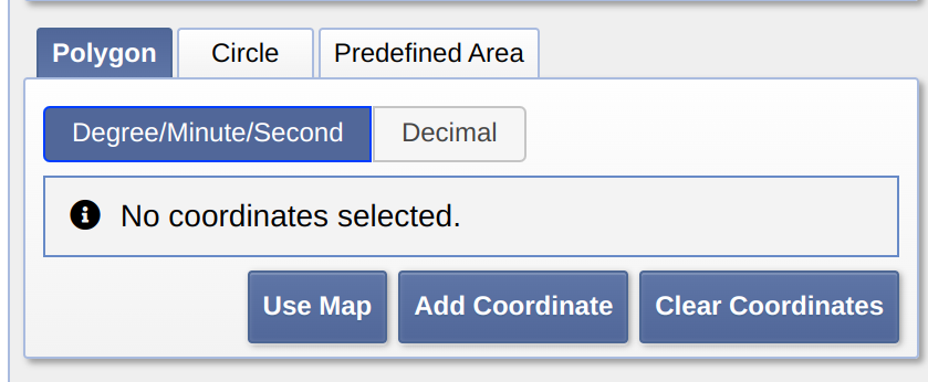
Choose method to describe geometry
Polygon is recommended. Just click on the map until you have the shape you want.

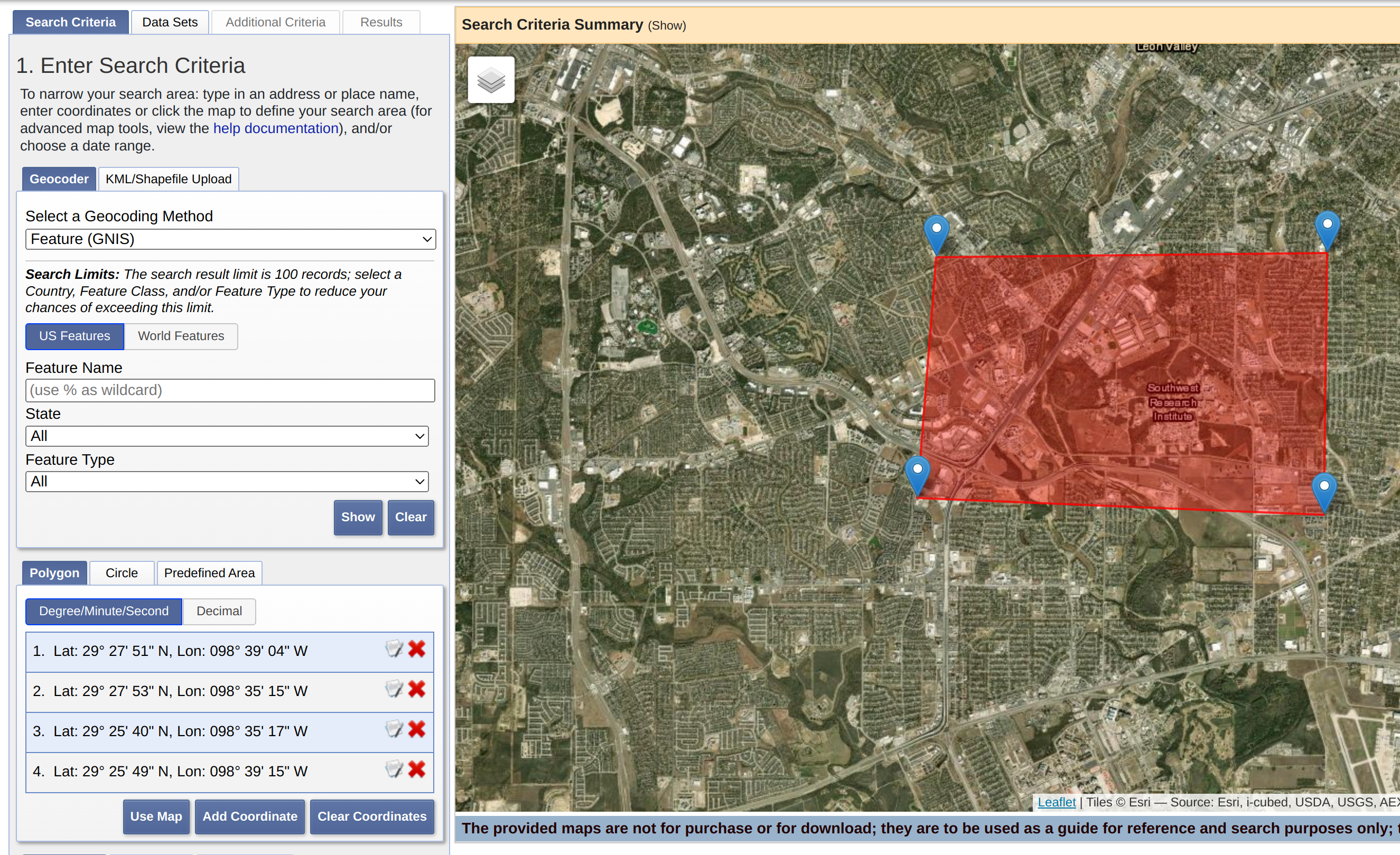
Draw geometry
Zoom to area and draw geometry on the map as needed. See coordinates populate on left hand side.

Extra search criteria (optional)
If you need a certain date it can be supplied. Generally I leave this blank and choose the latest. Cloud cover can be good if using raw data products, like Landsat, that have not had clouds filtered out yet. Once done click on the Data Sets button below:
Choose data sets
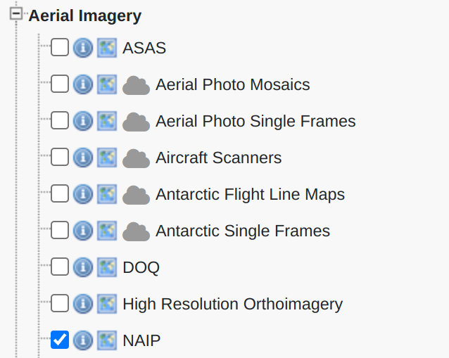
Aerial imagery
Imagery collected from aerial sources (as opposed to space). Usually higher resolution. NAIP is the best option here (usually pretty recent and decent resolution). Limited to the (continental?) United States.

Satellite imagery
Collected from satellites in space. Harder to get high resolution data from satellites. Usually much more up to date (within ~1 week usually). May have cloud cover, so be sure to check the preview later.

Move to results
Just click the results button at the bottom.

Pick data from results
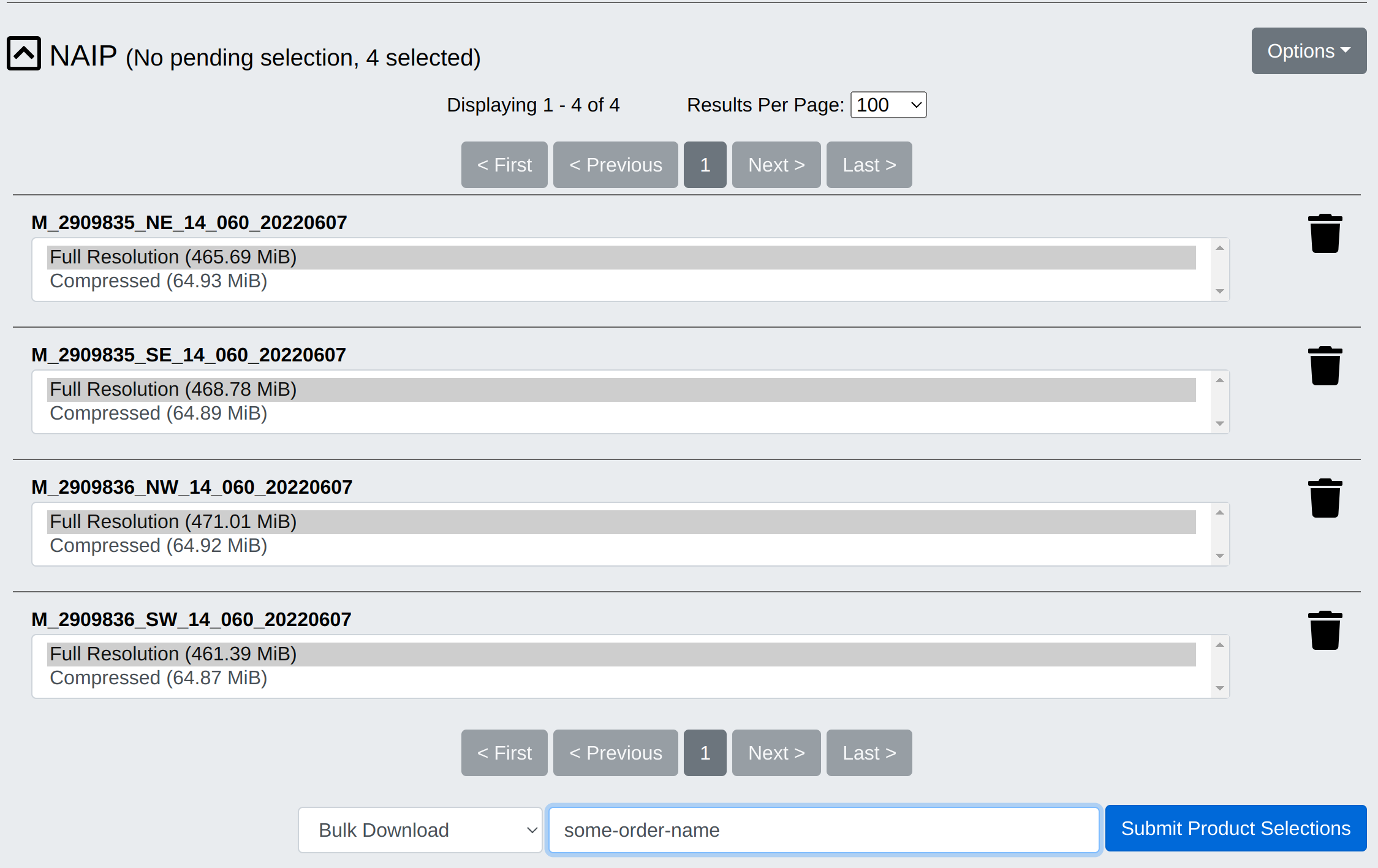
Use the foot and the preview icon to preview the data on the map. If selecting multiple, prefer using data from one acquisition (check date). After choosing desired data, add each to Bulk Download as shown below.

View item basket
At the bottom of the screen.

Continue to start order (Bulk Download)

Choose resolution for each

Done
You may need to unzip the data, but the images provided can be opened and used by a variety of programs.